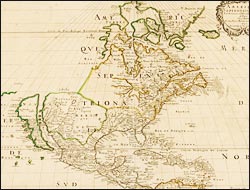
In the first half of the 17th century, the rapid extension of overseas trade created a widespread interest in exploration—and the wealth to spend on luxury items. Maps became popular articles of domestic consumption, displayed in the homes of merchants, professionals, and aristocrats to signal their worldliness and cultural refinement. The French and English tentatively began to develop commercial mapmaking, but their work lacked the luster attained by the skilled craftsmen of Amsterdam.
Explore Signs of the Times
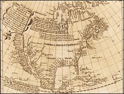
The northpart of America: conteyning Newfoundland, New England, Virginia, Florida, New Spaine
Briggs, a polymath and eminent Oxford mathematician, contributed to the 17th century's most consequential advance in cartography by publishing logarithmic tables, which simplified trigonometric calculations for triangulation--of use to surveyors, navigators, and astronomers. This, his only map, accompanied his treatise on the Northwest Passage. Based on recent reports by explorers, he reintroduced Cortés's long-discarded notion that California was an island, which quickly attained acceptance because of his reputation.

