The cartographic definition of the United States began in 1783 when negotiators in Paris drew boundaries on the Mitchell map. Both for practical reasons and as a symbol of sovereignty, the young republic quickly developed its own mapping industry to meet the needs of the new states and the federation formed under the constitution in 1787. The lifting of constraints on settlement between the Alleghenies and the Mississippi released a surge of western migration, creating a demand for frontier surveys.
Explore Mapping a New Nation
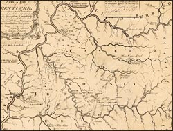
This map of Kentucke…
After the Revolution, Filson moved from his native Pennsylvania to Kentucky, where he acquired more than 12,000 acres. Settling in Lexington, he taught school while assembling data for a book and this now rare map. Although detailed--locating features of interest to potential settlers--it was not based on surveys. His dedication acknowledges prominent fellow frontiersman and land speculators, including Daniel Boone, whose house is depicted halfway between Lexington and "Boonsboro."