Formally declared in 1756, the frontier conflict, known in America as the French and Indian War, dragged the major European powers into the Seven Years’ War, spreading to far-flung colonies in Africa, India, and the Philippines. Predictably, military activity in North America focused on the arc of French fortifications along the key water routes from the Ohio River, northeast through the Great Lakes to Lake Champlain and the St. Lawrence River. Maps—crucial for the planning and execution of military campaigns—also brought news of the remote war into people’s homes.
Explore The French and Indian War
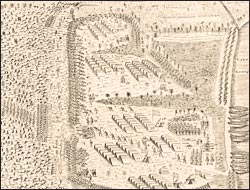
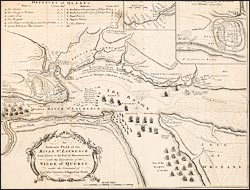
A prospective view of the battle fought near Lake George
In the summer of 1755, an army of British colonials under William Johnson, an Irish-born agent in the New York Indian trade, ascended the Hudson River and encamped on the shore of Lake George in preparation for an assault on the French fort on Lake Champlain. Aware of this plan, the French commander took preemptive action and dispatched troops south. Warned of their approach, on September 8 Johnson sent 1000 colonials with 100 Mohawk allies to intercept the French, but the English were ambushed, suffering heavy casualties. The survivors struggled back to Lake George to warn their comrades. Behind a hastily erected breastwork of felled trees and overturned wagons, Johnson's colonial army repelled the onslaught and counterattacked, forcing the French to retreat. Johnson became a war hero. Although his forces had not gained ground, they had demonstrated that a colonial militia could repulse an army of regulars. This depiction of the two engagements, reconstructed from an eyewitness account was printed first in Boston--the first battle plan published in America--and later reprinted in London.