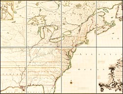
Published in February 1755, the Mitchell map—smaller (engraved on eight plates) but more detailed and accurate than the Popple map—used bold lines to assert the sea-to-sea extent of Britain’s southern colonies. Mitchell incorporated citations for the authorities on which he based his determinations: right of possession by discovery, colonial charters, and treaty agreements. It earned its epithet, “the most important map in American history,” when, after the Revolution, negotiators of the 1783 Treaty of Paris used it to demarcate the border between Canada and the United States. Its importance as a reference in boundary disputes endured into the 20th century.
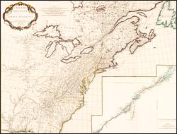
A map of the British and French dominions in North America…
After training in Edinburgh, Mitchell practiced medicine in his native Virginia while pursuing his wide-ranging studies in etiology, climatology, botany, and zoology. In 1747, he relocated to London, where he joined the Royal Society and began compiling a map of North America to illustrate his book on natural history. After seeing a draft of his map--and aware of Mitchell's political sympathies--the Board of Trade commissioned him to redress their dissatisfaction with the limited territorial claims of the Popple map. The Board gave him access to official archives and directed the colonial governors to provide new maps and geographic descriptions for Mitchell's use.